自然
シンガポール島
Singapore Island
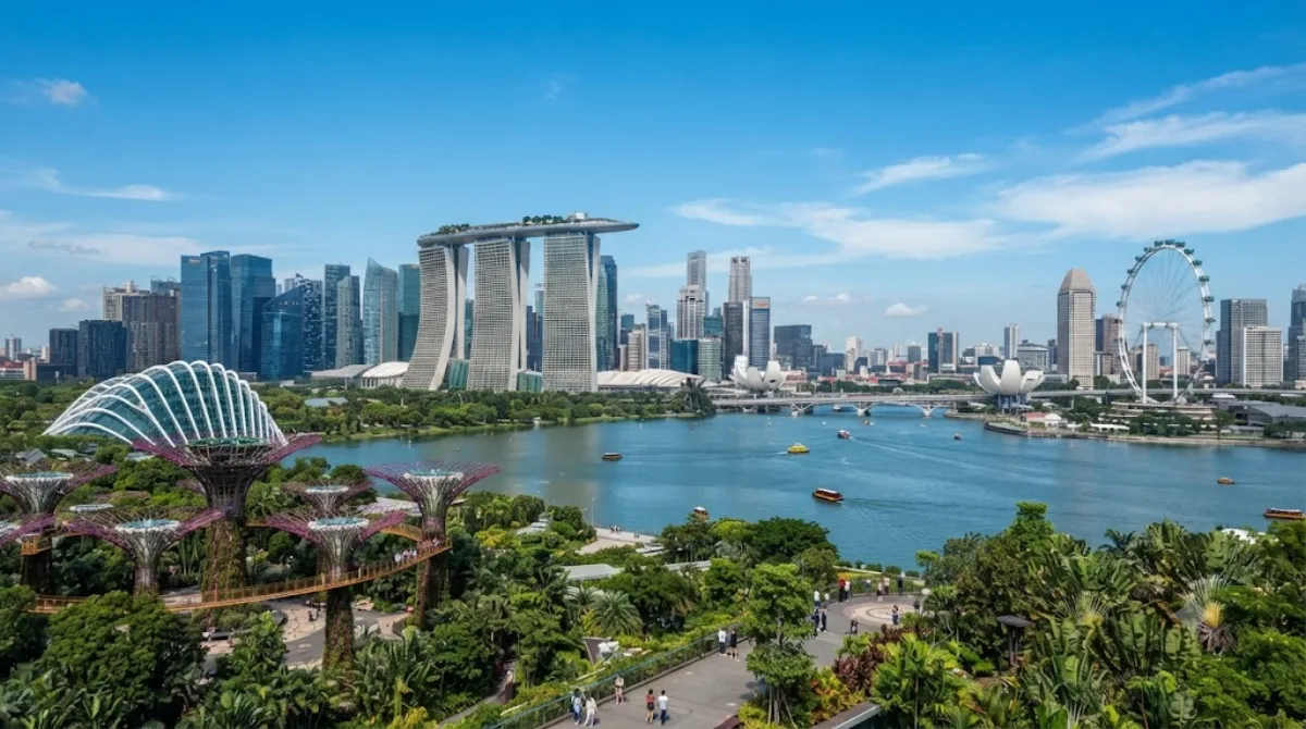
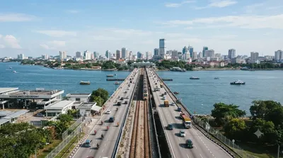
シンガポール島 は、シンガポール共和国のなかで一番大きな島で、本島である。マレー半島の南にあるジョホール海峡を挟んだ対岸にある。マレー半島からは2本の橋(ジョホール・シンガポール・コーズウェイ、マレーシア・シンガポール・セカンドリンク)が架かっており、南部のセントーサ島とも橋で繋がっている。
Singapore Island
Despite the name, this isn't a beach getaway — it's the main island of the country, the landmass that carries the city itself along with its remaining forest reserves, reservoirs, and coastline. For a traveller, "visiting Singapore Island" usually means getting outside the downtown core to see the green interior: forested hills, a rainforest reserve, and pockets of nature that survive alongside dense urban development. It's worth doing if you want a sense of what the land looked like before the city, and how much of it has been deliberately preserved.
Getting there
From the city centre, the nature areas in the island's interior — around Bukit Timah — are roughly a 30 to 40 minute taxi or bus ride, depending on traffic and the exact starting point. Public buses connect to Bukit Timah Nature Reserve, though the last stretch involves some walking uphill.
Time to allow
A couple of hours is enough for a short walk; if you plan to hike up Bukit Timah Hill or explore trails properly, allow half a day.
When to go
Mornings are cooler and more comfortable for walking, since Singapore's heat and humidity build up by midday. Rain can arrive suddenly at any time of year, so bring something waterproof. Weekends tend to draw more hikers to Bukit Timah in particular, so weekday mornings are quieter.
Combine it with
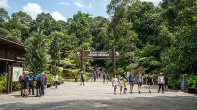
- Bukit Timah Nature Reserve (0.4km) — practically adjacent, and the main reason most visitors come to this part of the island.
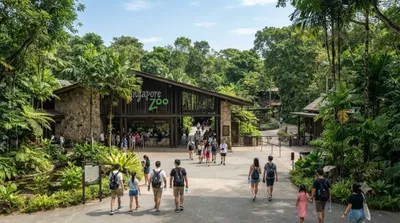
- Singapore Zoo (2.6km) — a reasonable pairing for a half-day or full-day nature-focused itinerary.
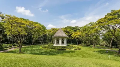
- Singapore Botanic Gardens (7.8km) — a more manicured, accessible green space if you want contrast with the reserve's forest trails.
- Johor–Singapore Causeway (8.4km) — mainly relevant if you're continuing on to Malaysia.
出典:ウィキペディア・OpenStreetMap の公開データ · 2026年8月5日 更新 · 編集 World by City 編集部