自然
大漢渓
Dahan River
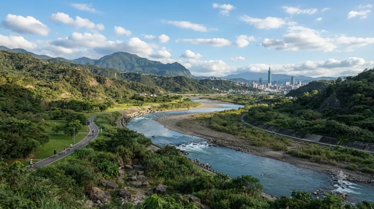
大漢渓(だいかんけい)は台湾北部を流れる河川。淡水河水系の三大支流のひとつである。旧称は大嵙崁渓。
What it is
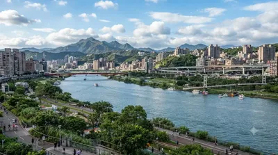
The Dahan River is one of the two main rivers that form the Tamsui River system running through Taipei. It flows down from the mountains of Hsinchu County through Taoyuan and New Taipei City before merging with the Xindian River right at the edge of Taipei. Within the city, what you'll actually see is the riverside stretch near where the two rivers join — flat, grassy floodplain parks with paved paths along the water, popular with local cyclists, runners, and families rather than a scenic destination in its own right.
Getting there
The nearest access points are around Wanhua District in old Taipei, near Bangka Lungshan Temple. From central Taipei (e.g. Taipei Main Station), it's roughly a 20-25 minute MRT and short walk, or about 15 minutes by taxi. The riverside bike path also connects to Taipei's larger cycling network if you'd rather ride in.
How long to allow
An hour or two is enough for a walk or a short bike ride along the embankment. If you rent a bike and follow the path further along the river, plan for half a day.
When to go
Late afternoon into evening is a good time, both for cooler temperatures and for watching the sunset over the water. Avoid typhoon season (roughly July to September), when water levels can rise and paths may flood or close. It doesn't get heavily crowded, though weekends bring out more local cyclists and joggers.
Combine it with
- Xindian River (0.5km) — the confluence point, easily covered as part of the same riverside walk.
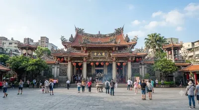
- Bangka Lungshan Temple (2.1km) — one of Taipei's oldest and busiest temples.
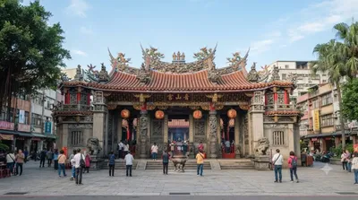
- Bangka Qingshan Temple (2.3km) — a quieter, less touristed temple nearby.
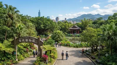
- Taipei Botanical Garden (3.2km) — a good next stop if you want greenery without the river's exposed, open feel.
出典:ウィキペディア・OpenStreetMap の公開データ · 2026年8月5日 更新 · 編集 World by City 編集部