Nature
Yên River
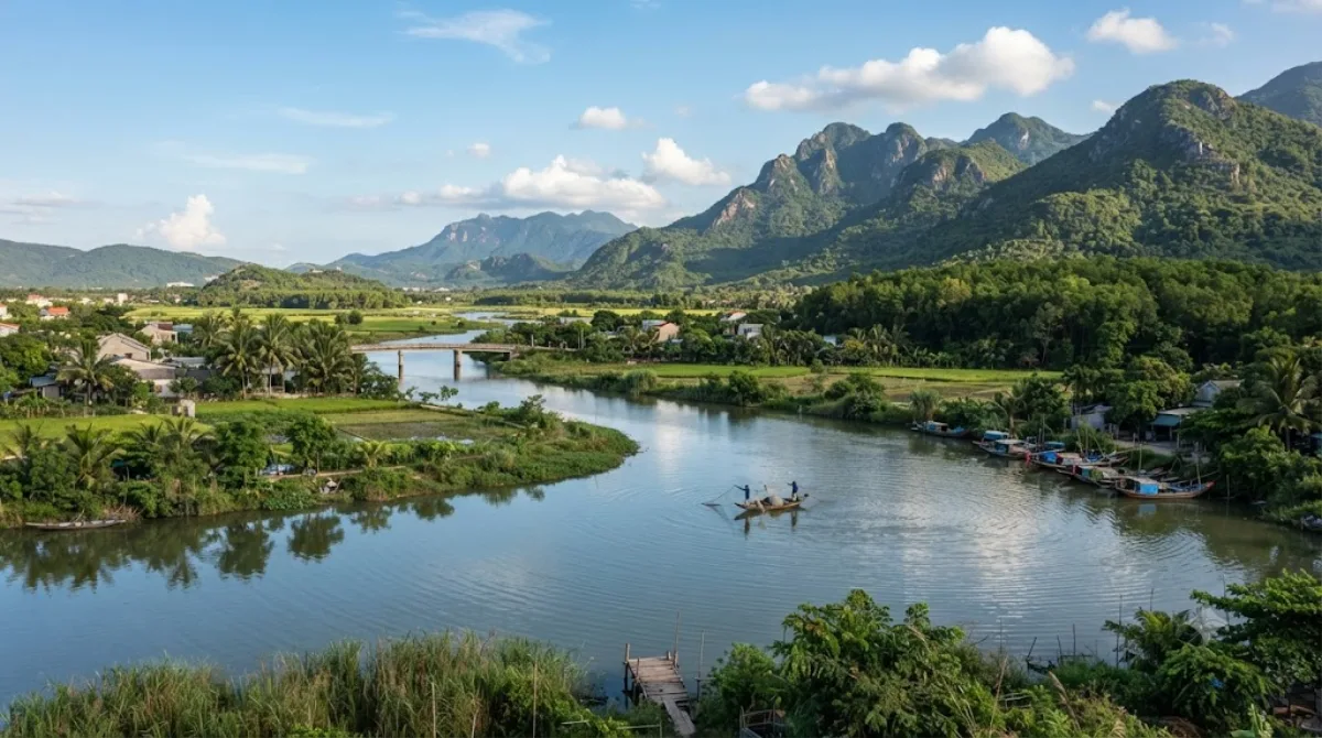
Yên River
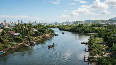
The Yên River is one of the branches formed when the Vu Gia River splits, on the boundary between Đại Lộc and Điện Bàn Bắc. From that split it runs about 22 kilometres before meeting the Túy Loan River near the boundary of Hòa Vang, Hòa Tiến, and Cẩm Lệ, where together they form the Cầu Đỏ River. It is also known locally as the Thạch Bồ River. This is not a developed sightseeing spot with facilities — it's a working waterway through farmland and rural communes on the western edge of Da Nang, of interest mainly to travellers curious about the river system that feeds the city's water supply and irrigation, or those passing through the area by road.
Getting there
The river's course lies inland and to the southwest of central Da Nang, reached by heading out through Cẩm Lệ or Hòa Vang. Depending on which stretch you're aiming for, expect roughly 30 to 45 minutes by car or motorbike from the city centre, on rural roads rather than highway.
How long to spend
There's no single viewing point or attraction infrastructure here, so time on site depends entirely on what you're doing — a brief stop to see the water and surrounding countryside might take 20-30 minutes, while exploring further along the banks could take longer.
When to go
Daylight hours are the only practical option, since there's no lighting or facilities after dark. Like much of central Vietnam, the wet season (roughly October to December) can bring higher water levels and muddier access roads, so drier months are more comfortable for exploring the riverside. This is a quiet rural area, not somewhere that experiences tourist crowds.
Combining with nearby sights
The Sông Vĩnh Điện river is about 8.5km away and could be paired with a river-focused route through this part of Da Nang. The Zone 5 Military Museum sits at a similar distance (8.5km), while Tiên Sơn Bridge (9km) and Tran Thi Ly Bridge (9.5km) are further out toward the city centre and better grouped with an in-town itinerary rather than this stop.
Updated September 20, 2026 · Edited by the World by City editors
 GetYourGuide
 Klook
Klook
 Tiqets
 KKday
KKday
 WeGoTrip
 Booking.com
 Hotels.com