Temples & religious sites
Sumiyoshi Taisha
What it is
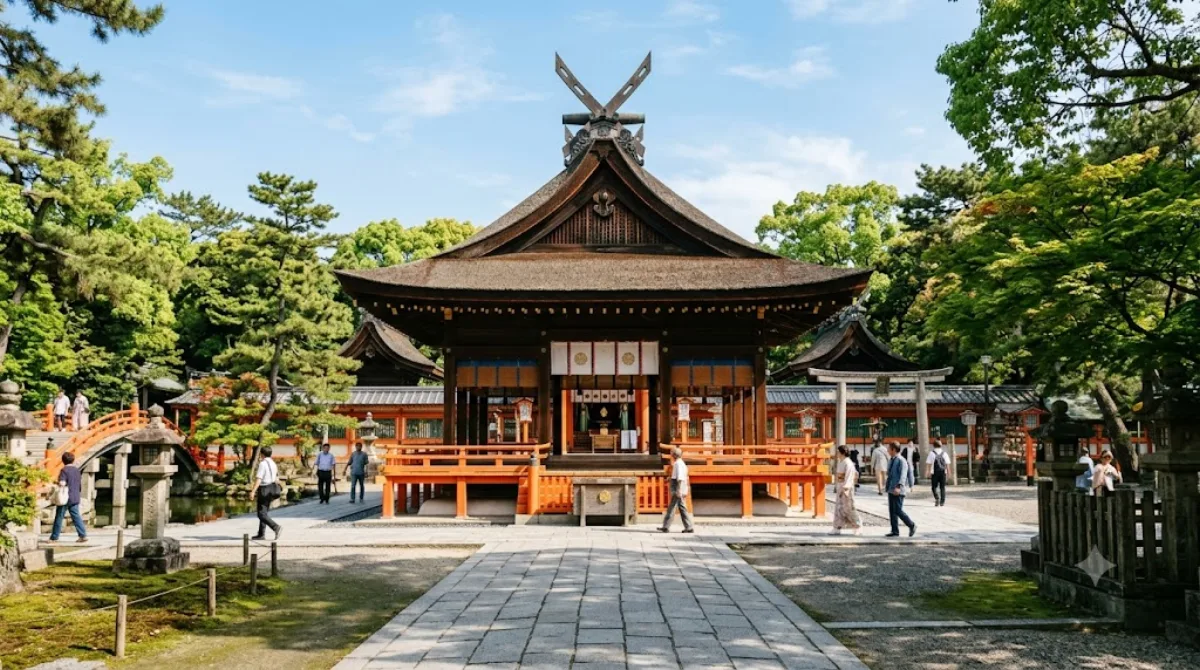
Sumiyoshi Taisha is the head shrine of some 2,300 Sumiyoshi shrines around Japan, dedicated to the Sumiyoshi deities associated with the sea and voyages, plus the Empress Jingū. Its main halls are built in the pre-Buddhist Sumiyoshi-zukuri style, distinct from the more common Shinto architecture influenced by Buddhist temple design, which is worth seeing even if you have already visited several shrines in Kyoto or Nara. The site includes an arched stone-and-vermilion bridge (Sorihashi) that has become one of the more photographed features of the shrine, along with several stone lanterns donated historically by merchants and fishermen, reflecting the shrine's long association with maritime trade.
Getting there
From central Osaka (Umeda or Namba), take the Nankai Main Line to Sumiyoshi-Taisha Station or the Hankai Tram (Uemachi Line) to Sumiyoshi-Torii-mae Station; either way the shrine is a short walk from the platform. From Namba, the trip takes roughly 15-20 minutes by train.
Time to allow
Most visitors spend around 45 minutes to an hour walking the grounds, seeing the main halls and the bridge, and stopping at the smaller sub-shrines scattered around the complex.
When to go
The shrine can get busy around New Year, when it is one of the more popular hatsumōde destinations in the Osaka area, and during shrine festivals held through the year. Visiting on a weekday morning generally means a quieter walk through the grounds.
Combine it with
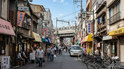
- Kamagasaki, about 4km away
- Abeno Harukas, about 4.2km away, useful for an observation-deck stop
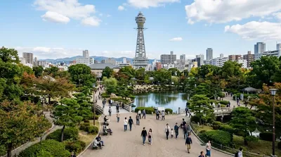
- Tennōji Park, about 4.5km away
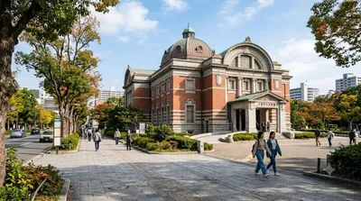
- Osaka City Museum of Fine Arts, about 4.5km away
These sit close enough together that they can reasonably be grouped into a single half-day loop through southern Osaka.
Updated September 20, 2026 · Edited by the World by City editors
 GetYourGuide
 Klook
Klook
 Tiqets
 KKday
KKday
 WeGoTrip
 Booking.com
 Hotels.com