Shopping & districts
Nagatachō
What it is
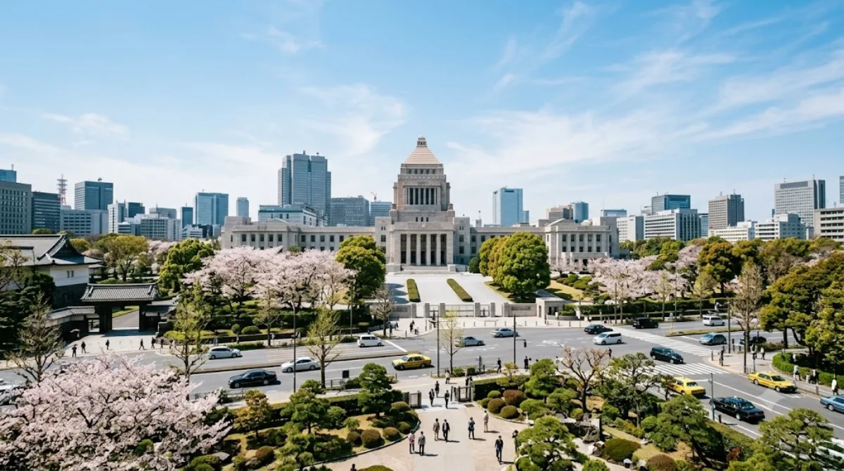
Nagatachō is Tokyo's seat of government rather than a shopping district in the usual sense: this is where the National Diet Building sits, along with the Prime Minister's official residence (Kantei) and surrounding ministry offices. The Supreme Court is just next door in Hayabusachō. Travellers come here mainly to see the Diet Building itself and get a sense of Japan's political center, not for retail or dining — the area is largely government offices with limited street-level commerce.
Getting there
Nagatachō is close to the Imperial Palace area and central Tokyo, roughly a 10-15 minute train ride from major hubs like Tokyo Station using the Tokyo Metro (Nagatachō or Kokkai-gijidō-mae stations serve the district directly). It's also walkable from the Imperial Palace grounds in about 15-20 minutes.
Time to allow
An hour or so is enough to walk past the Diet Building and government precinct. There isn't much to linger over beyond viewing the exteriors, since most buildings are not open to casual visitors without prior arrangement.
When to go
Weekday daytime is when the area is most active with civil servants and staff, though this doesn't translate into crowds for visitors. Weekends can feel quieter and more subdued given the office-district character. There's little seasonal variation to plan around here.
Combine it with
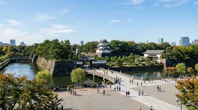
- Tokyo Imperial Palace (1km) — a natural pairing, easily walkable
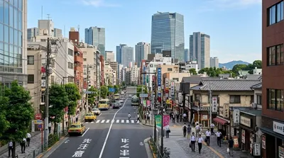
- Akasaka (1km) — for restaurants and a livelier atmosphere after the government district
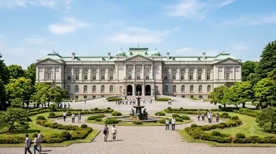
- Akasaka Palace (1.5km) — another formal state building worth seeing nearby
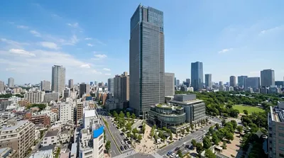
- Midtown Tower (1.6km) — if extending into Roppongi/Akasaka for shopping and dining
Updated September 20, 2026 · Edited by the World by City editors
 GetYourGuide
 Klook
Klook
 Tiqets
 KKday
KKday
 WeGoTrip
 Booking.com
 Hotels.com