World by City

ショッピング・繁華街

永田町

Nagatachō
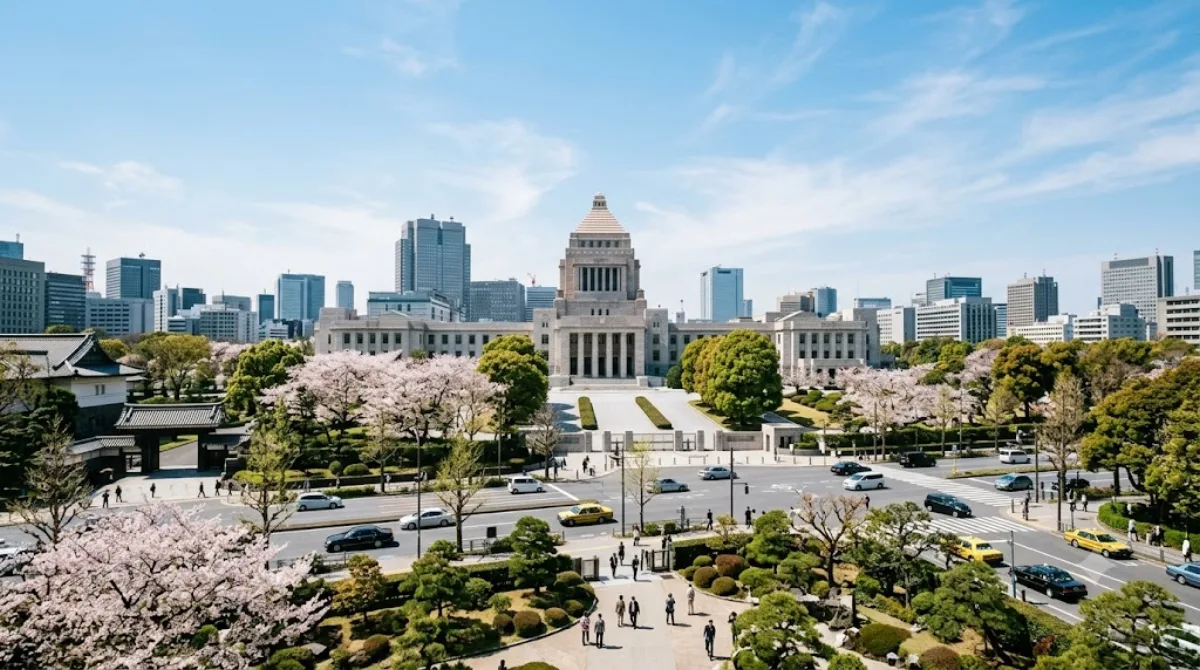
永田町

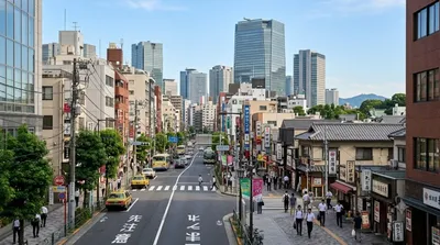
永田町(ながたちょう)は、東京都千代田区の町名。現行行政区画は永田町一丁目および永田町二丁目。住居表示実施済みの地域。

What it is

Nagatachō is Tokyo's seat of government rather than a shopping district in the usual sense: this is where the National Diet Building sits, along with the Prime Minister's official residence (Kantei) and surrounding ministry offices. The Supreme Court is just next door in Hayabusachō. Travellers come here mainly to see the Diet Building itself and get a sense of Japan's political center, not for retail or dining — the area is largely government offices with limited street-level commerce.

Getting there

Nagatachō is close to the Imperial Palace area and central Tokyo, roughly a 10-15 minute train ride from major hubs like Tokyo Station using the Tokyo Metro (Nagatachō or Kokkai-gijidō-mae stations serve the district directly). It's also walkable from the Imperial Palace grounds in about 15-20 minutes.

Time to allow

An hour or so is enough to walk past the Diet Building and government precinct. There isn't much to linger over beyond viewing the exteriors, since most buildings are not open to casual visitors without prior arrangement.

When to go

Weekday daytime is when the area is most active with civil servants and staff, though this doesn't translate into crowds for visitors. Weekends can feel quieter and more subdued given the office-district character. There's little seasonal variation to plan around here.

Combine it with

  • Tokyo Imperial Palace (1km) — a natural pairing, easily walkable
  • Akasaka (1km) — for restaurants and a livelier atmosphere after the government district
  • Akasaka Palace (1.5km) — another formal state building worth seeing nearby
  • Midtown Tower (1.6km) — if extending into Roppongi/Akasaka for shopping and dining

出典:ウィキペディア・OpenStreetMap の公開データ · 2026年8月5日 更新 · 編集 World by City 編集部

チケット・ツアー予約

入場料や営業時間は変わりやすいためここには載せていません。下で現在販売中のチケットと価格をご確認ください。事前購入で待ち時間を減らせる場所もあります。

検索結果にこの場所のチケットがない場合もあります。入場無料、または現地販売のみの施設もあります。

永田町 周辺の宿

歩いて行ける距離から近い順に並べています。距離は直線距離です。

地図 © OpenStreetMap 寄稿者。直線でつないでいるため実際の経路とは異なります。

永田町 周辺の宿

宿の位置と名称は OpenStreetMap のデータに基づきます。価格と空室は各予約サイトでご確認ください。

あわせて訪れたい場所

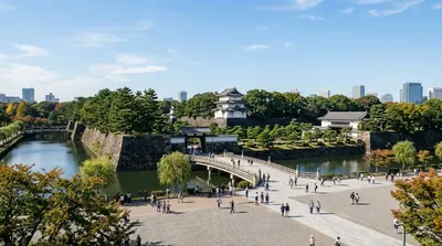
皇居

城・宮殿

皇居

皇居(こうきょ)は、日本の天皇の住居、固有名詞として旧江戸城を指す建造物。後者は東京都千代田区千代田1番1号に所在し、宮内庁も所在する。区の中央部に立地しており、総面積は千代田区の約1割に相当する。

ここから 1.0 km

赤坂

ショッピング・繁華街

赤坂

赤坂(あかさか)は、東京都港区の町名。オフィスビルや商業施設が集中し、隣接する虎ノ門や六本木などと共にビジネス街・繁華街となっている。また、高級マンションなどが立ち並ぶ高級住宅街でもある。現行行政地名は赤坂一丁目から赤坂九丁目。住居表示実施済区域。

ここから 1.0 km

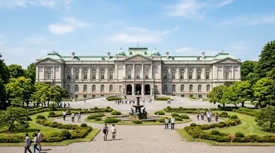
迎賓館赤坂離宮

城・宮殿

迎賓館赤坂離宮

迎賓館赤坂離宮(げいひんかんあかさかりきゅう)は、東京都港区元赤坂にある日本の迎賓館。赤坂迎賓館とも呼ばれる。国賓を迎える施設で、行政官庁としては、内閣府の施設等機関として置かれている。

ここから 1.5 km

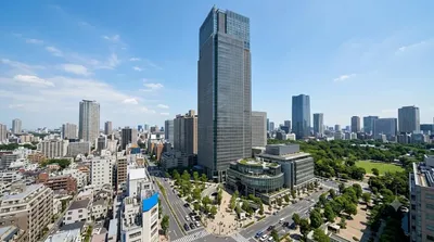
ミッドタウン・タワー

展望・ランドマーク

ミッドタウン・タワー

ミッドタウン・タワー(英語: Midtown Tower) は、東京都港区赤坂九丁目に所在する三井不動産の超高層ビルである。複合商業施設「東京ミッドタウン」の中核を担う施設である。高さは248.1mで、高さ330mの麻布台ヒルズ森JPタワー、高さ266mの虎ノ門ヒルズステーションタワーに次いで、東京都内で3番目に高い。

ここから 1.6 km

六本木

ショッピング・繁華街

六本木

六本木(ろっぽんぎ)は、東京都港区の町名。現行行政区画は六本木一丁目から六本木七丁目。住居表示実施済区域。

ここから 1.9 km

東京国立近代美術館

博物館・美術館

東京国立近代美術館

東京国立近代美術館 は、独立行政法人国立美術館が運営する美術館である。東京都千代田区北の丸公園内にある本館と、石川県金沢市にある国立工芸館から構成される。

ここから 1.9 km