Tempel & Sakralbauten
Sankt Paul vor den Mauern
Basilica of Saint Paul outside the Walls
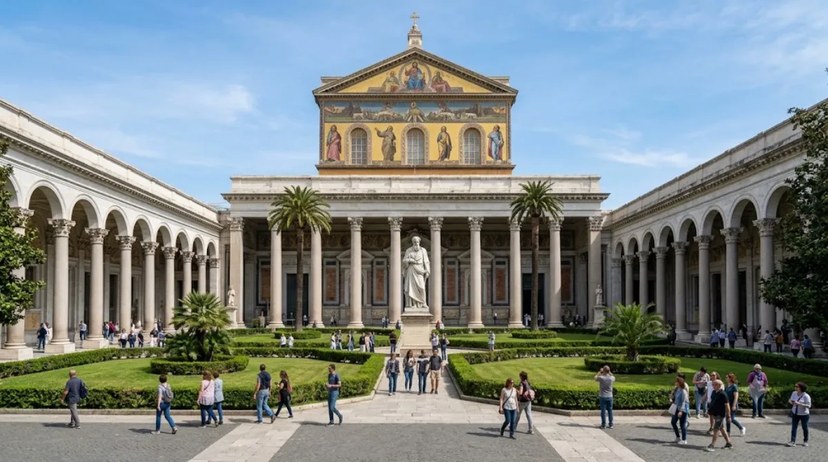
Die Basilika San Paolo fuori le Mura
Die Basilika San Paolo fuori le Mura ist eine der vier päpstlichen Hauptkirchen Roms. Sie wurde traditionell über dem Grab des Apostels Paulus errichtet. Obwohl sie auf italienischem Staatsgebiet liegt, untersteht sie der Verwaltung des Heiligen Stuhls und besitzt extraterritorialen Status.
Anreise aus dem Stadtzentrum
Die Kirche liegt außerhalb des historischen Kerns. Die Anreise erfolgt am besten mit der Metro-Linie B bis zur Haltestelle „San Paolo“. Je nach Startpunkt im Zentrum dauert die Fahrt inklusive Fußweg etwa 20 bis 30 Minuten.
Zeitaufwand vor Ort
Für die Besichtigung des Kirchenschiffs, des Atriums und des Kreuzgangs sollten Besucher etwa 1,5 bis 2 Stunden einplanen.
Besuchszeit und Andrang
Ein Besuch in den frühen Morgenstunden ist empfehlenswert, um größeren Gruppen zu entgehen. Die Basilika ist weniger überlaufen als der Petersdom, kann aber an religiösen Feiertagen sehr voll werden.
Kombinationsmöglichkeiten
Aufgrund der Lage lässt sich die Besichtigung mit anderen Sehenswürdigkeiten im südlichen Bereich der Stadt verbinden:
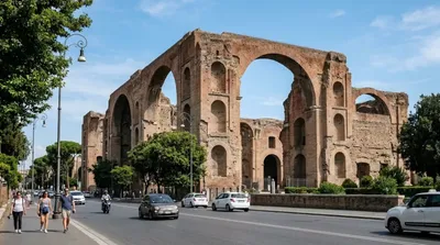
- Caracalla-Thermen: ca. 2,7 km entfernt
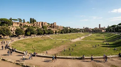
- Circus Maximus: ca. 3,1 km entfernt
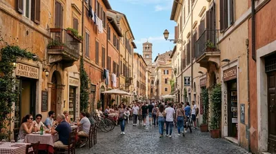
- Trastevere: ca. 3,3 km entfernt
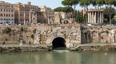
- Cloaca Maxima: ca. 3,4 km entfernt
Aktualisiert 20. September 2026 · Redaktion die World by City-Redaktion
 GetYourGuide
 Klook
Klook
 Tiqets
 KKday
KKday
 WeGoTrip
 Booking.com
 Hotels.com