Parks & Gärten
Markusplatz
Piazza San Marco
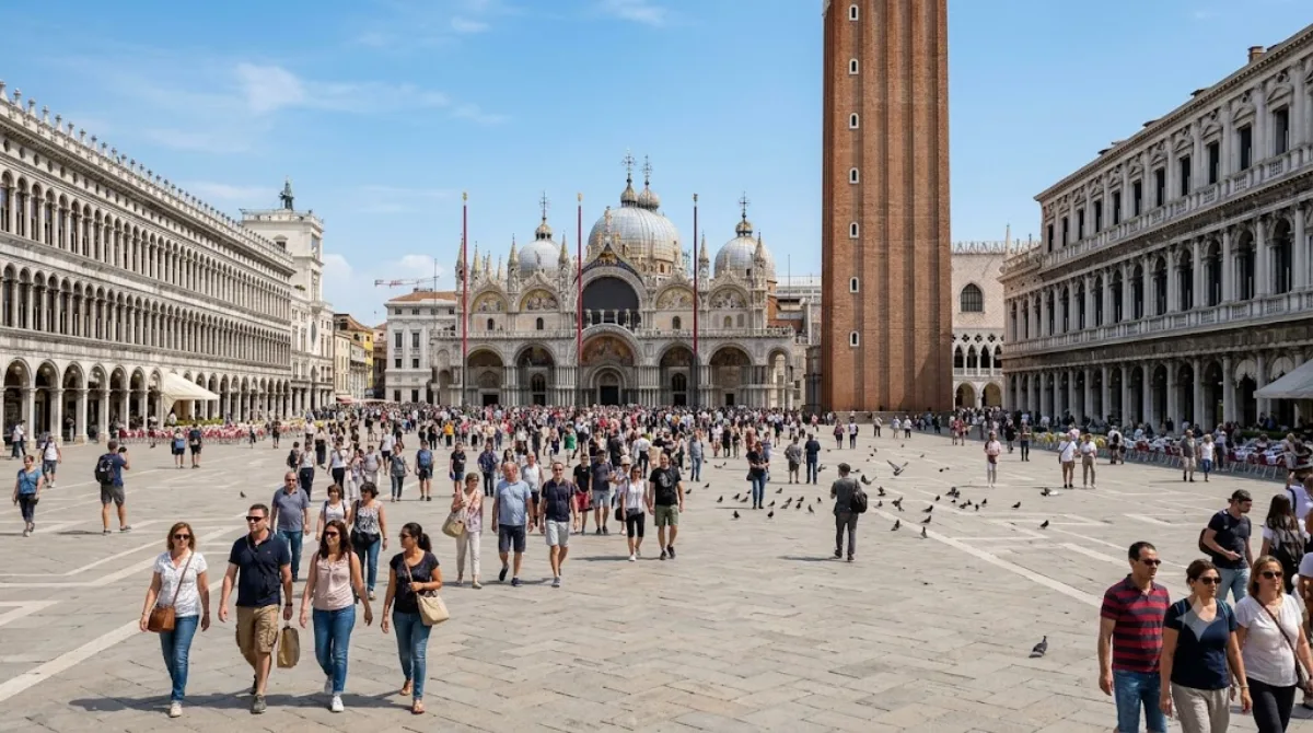
Piazza San Marco
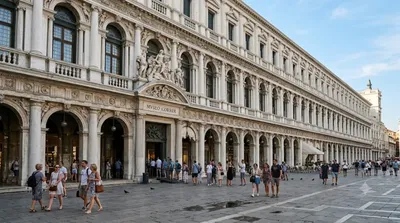
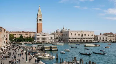
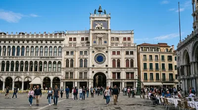
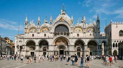
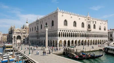
Die Piazza San Marco ist der zentrale Platz von Venedig. Er dient als Knotenpunkt, an dem die bedeutendsten Bauwerke der Stadt zusammenlaufen, darunter die Markuskirche, der Markusturm und der Dogenpalast. Reisende besuchen den Platz, um diese Architektur zu sehen oder die umliegenden Arkaden mit ihren Cafés und Geschäften zu nutzen.
Anreise und Dauer
Da sich der Platz im Herzen der Stadt befindet, ist er von den meisten zentralen Unterkünften zu Fuß erreichbar. Je nach Startpunkt dauert der Weg etwa 10 bis 20 Minuten. Alternativ kann das Vaporetto-Netz genutzt werden, um direkt an den Platz zu gelangen.
Für einen ersten Überblick über den Platz und die unmittelbare Umgebung sollten Besucher etwa ein bis zwei Stunden einplanen. Wer die umliegenden Gebäude besichtigt, benötigt entsprechend mehr Zeit.
Besuchszeit und Hinweise
Der Platz ist zu jeder Tages- und Jahreszeit zugänglich. Er ist jedoch sehr stark frequentiert, insbesondere während der Hauptreisezeit und zu den Mittagsstunden. Wer weniger Menschenmengen bevorzugt, sollte den frühen Morgen wählen.
Kombinationsmöglichkeiten
Aufgrund der zentralen Lage lassen sich weitere Sehenswürdigkeiten in unmittelbarer Nähe kombinieren:
- Markusdom (St. Mark's Basilica): 0,1 km
- Markusturm (St. Mark's Campanile): 0,1 km
- Uhrturm (St. Mark's Clocktower): 0,1 km
- Museo Correr: 0,1 km
Aktualisiert 20. September 2026 · Redaktion die World by City-Redaktion
 GetYourGuide
 Klook
Klook
 Tiqets
 KKday
KKday
 WeGoTrip
 Booking.com
 Hotels.com