Aussicht & Wahrzeichen
Ponte della Costituzione
ponte della Costituzione
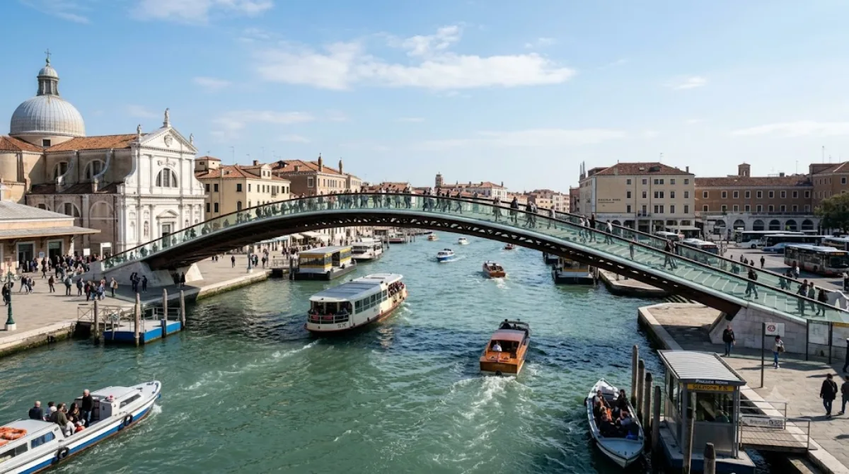
Ponte della Costituzione
Die Ponte della Costituzione ist die vierte Brücke über den Canal Grande in Venedig. Sie wurde vom Architekten Santiago Calatrava entworfen und im Jahr 2008 eröffnet. Die Konstruiert aus Glas und Stahl, unterscheidet sich ihre geschwungene Form deutlich von den historischen Brücken der Stadt. Viele Einheimische bezeichnen das Bauwerk daher schlicht als Calatrava-Brücke.
Anreise und Zeitplanung
Die Brücke ist vom Stadtzentrum aus bequem zu Fuß erreichbar. Je nach Startpunkt dauert der Weg etwa 10 bis 20 Minuten. Da es sich um eine öffentliche Überquerung handelt, reicht ein kurzer Aufenthalt von 15 bis 30 Minuten aus, um die Architektur zu betrachten und den Canal Grande zu überqueren.
Besuchszeitpunkt
Die Brücke kann zu jeder Tages- und Jahreszeit besucht werden. Aufgrund ihrer Lage an einer wichtigen Verkehrsachse ist sie häufig stark frequentiert. Um Menschenmengen zu vermeiden, empfiehlt sich ein Besuch in den frühen Morgenstunden.
Kombinationsmöglichkeiten
In der näheren Umgebung befinden sich mehrere kulturelle Sehenswürdigkeiten, die zu Fuß besucht werden können:
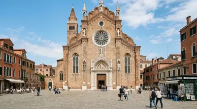
- Santa Maria Gloriosa dei Frari (0,6 km)
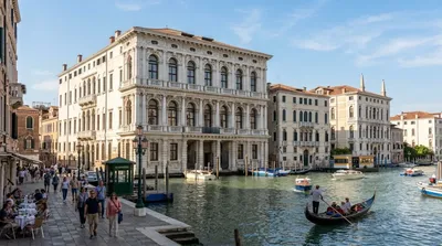
- Ca' Rezzonico (0,7 km)
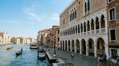
- Fondaco dei Turchi (0,8 km)
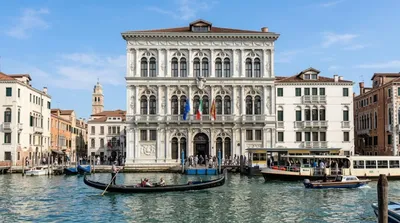
- Ca' Vendramin Calergi (0,9 km)
Aktualisiert 20. September 2026 · Redaktion die World by City-Redaktion
 GetYourGuide
 Klook
Klook
 Tiqets
 KKday
KKday
 WeGoTrip
 Booking.com
 Hotels.com