World by City

展望・ランドマーク

三条大橋

Sanjō Ōhashi Bridge
三条大橋

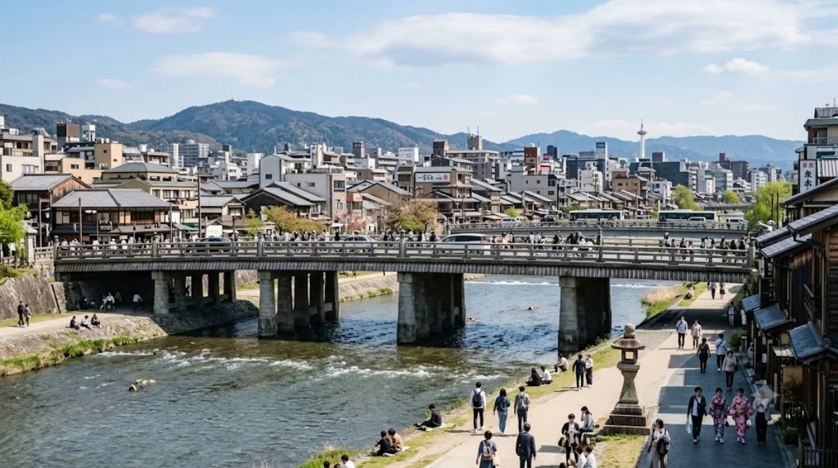
三条大橋(さんじょうおおはし)は、京都市にある三条通の橋。一級河川の鴨川に架かっている。

What it is

Sanjō Ōhashi is a bridge crossing the Kamo River in central Kyoto, carrying Sanjō-dōri across the water. Its significance is historical rather than visual: for centuries it marked the terminus of both the Tōkaidō and Nakasendō, the two main roads linking Kyoto and Edo (Tokyo) during the Edo period. Travellers arriving from either route ended their journey here, which makes the bridge a low-key but tangible link to Japan's pre-modern travel network. It's a working city bridge today, not a preserved monument, so the appeal is mostly in standing on the spot where those old roads converged and looking along the river.

Getting there

The bridge sits in the middle of downtown Kyoto, an easy walk from the Kawaramachi and Sanjō areas. From Kyoto Station, it's roughly 15 minutes by subway (Karasuma Line to Karasuma Oike, then Tozai Line to Kyoto-Shiyakusho-mae Station) followed by a short walk, or about 10 minutes by taxi depending on traffic.

Time to allow

Fifteen to twenty minutes is enough to cross the bridge, take in the river view, and read any plaques marking its history. It's more of a passing point on a walk than a standalone destination.

When to go

Since it's a public road bridge, there's no real crowding issue, though foot and vehicle traffic picks up during commuting hours. Early morning or evening gives a quieter view of the river and the hills beyond, especially at dusk when the surrounding streets light up.

Combine it with

  • Honnō-ji Temple, about 0.3km away, an easy add-on to the same walk
  • Gion, roughly 0.7km away, reachable on foot for a change of scenery from the modern downtown streets
  • Yasaka Shrine, about 0.9km further, often visited together with Gion
  • The National Museum of Modern Art, Kyoto, around 1km away, for those extending the walk toward the eastern hills

出典:ウィキペディア・OpenStreetMap の公開データ · 2026年8月5日 更新 · 編集 World by City 編集部

チケット・ツアー予約

入場料や営業時間は変わりやすいためここには載せていません。下で現在販売中のチケットと価格をご確認ください。事前購入で待ち時間を減らせる場所もあります。

検索結果にこの場所のチケットがない場合もあります。入場無料、または現地販売のみの施設もあります。

三条大橋 周辺の宿

歩いて行ける距離から近い順に並べています。距離は直線距離です。

地図 © OpenStreetMap 寄稿者。直線でつないでいるため実際の経路とは異なります。

三条大橋 周辺の宿

宿の位置と名称は OpenStreetMap のデータに基づきます。価格と空室は各予約サイトでご確認ください。

あわせて訪れたい場所

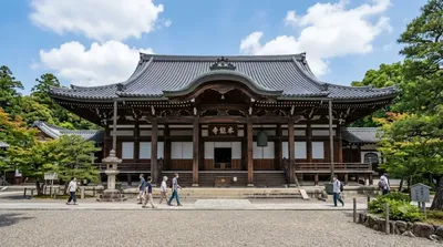
本能寺

寺社・宗教施設

本能寺

本能寺(ほんのうじ)は、京都市中京区下本能寺前町にある法華宗本門流の大本山の寺院。山号はなし。本尊は本門八品上行所伝の南無妙法蓮華経。本能寺の変の舞台として知られる。現在の寺院には、恵昇院、蓮承院、定性院、高俊院、本行院、源妙院、龍雲院の7院の塔頭がある。株式会社本能寺文化会館の株主であり、本能寺に隣接するホテル本能寺や境内にある博物館・本能寺大寶殿宝物館などを経営している。

ここから 0.3 km

祇園

ショッピング・繁華街

祇園

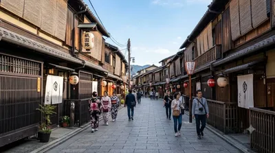
기온(일본어: 祇園 기온[*])은 교토부 교토시 히가시야마구에 위치한 유흥가이다. 일본의 센고쿠 시대에 개발됐고, 야사카 신사(기온 신사) 앞에 위치해 있다. 기온은 신사 참배객을 수용하기 위해서 건설됐다. 현재는 일본에서 게이샤로 유명한 동네로 발전했다. 기온이라는 단어는 제타바나(기온정사)와 관련이 있다.

ここから 0.7 km

八坂神社

寺社・宗教施設

八坂神社

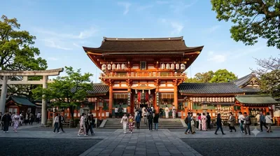
八坂神社(やさかじんじゃ)は、京都府京都市東山区祇園町北側にある神社。二十二社(下八社)の一社。旧社格は官幣大社で、現在は神社本庁の別表神社。

ここから 0.9 km

京都国立近代美術館

博物館・美術館

京都国立近代美術館

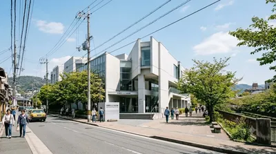
京都国立近代美術館(きょうとこくりつきんだいびじゅつかん)は、京都市左京区岡崎の岡崎公園にある、独立行政法人国立美術館が運営する美術館である。

ここから 1.0 km

知恩院

寺社・宗教施設

知恩院

知恩院(ちおんいん)は、京都市東山区林下町にある浄土宗の総本山の寺院。山号は華頂山(かちょうざん)。本尊は法然上人像(御影堂)および阿弥陀如来像(阿弥陀堂)。開山は法然である。正式呼称は華頂山知恩教院大谷寺。

ここから 1.1 km

京都国際マンガミュージアム

博物館・美術館

京都国際マンガミュージアム

京都国際マンガミュージアム とは京都市中京区の旧・龍池小学校跡地にある日本最大の漫画博物館である。

ここから 1.2 km