自然
Kallang River
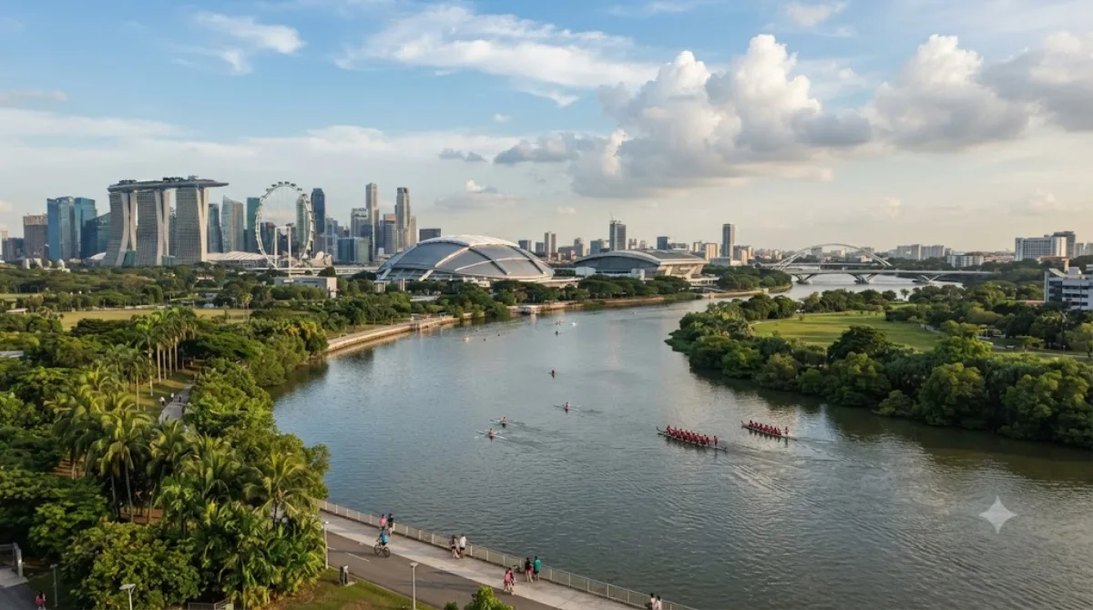
The Kallang River is the longest river in Singapore, flowing for 10 kilometers from the Lower Peirce Reservoir to the Kallang Basin. It originates in the planning area of Central Water Catchment, flows in a southeast direction through Bishan and Toa Payoh, before finally arriving in Kallang.
What it is
The Kallang River is Singapore's longest river, running about 10 kilometres from the Lower Peirce Reservoir down to the Kallang Basin, cutting through Bishan and Toa Payoh before reaching the sea at Kallang. Much of its course has been reworked into a landscaped park corridor with cycling and walking paths, so it's less a river you visit for a single site and more a green route you follow — good for a walk, a run, or a stretch of cycling away from traffic.
Getting there
Access depends on which stretch you want: the Kallang Basin end near the river mouth is easiest to reach from the city centre, roughly 10-15 minutes by taxi or MRT plus a short walk. The upstream sections through Bishan and Toa Payoh are best reached via the MRT stations in those towns, also around 15-20 minutes from downtown.
Time to allow
An hour or two is enough for a walk along one section of the riverside park. If you're cycling a longer stretch, allow half a day.
When to go
Early morning or late afternoon is more comfortable, avoiding the midday heat and humidity. Weekends tend to draw more joggers, cyclists, and families to the park sections, so weekday visits are quieter.
Combine with
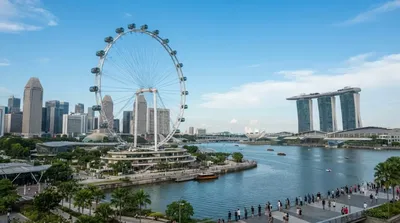
- If you're near the Kallang Basin end, the Singapore Flyer is about 1.5km away.
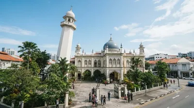
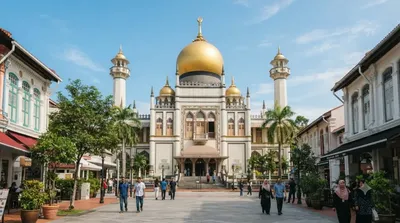
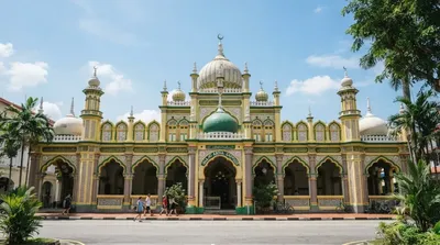
- Masjid Hajjah Fatimah (0.8km) and Masjid Sultan (1.2km) make a reasonable pairing if you're exploring the Kampong Glam area nearby.
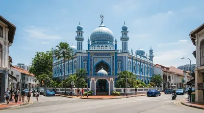
- Masjid Malabar, also around 1.2km away, can be folded into the same walk through the historic mosque district.
出典:ウィキペディア・OpenStreetMap の公開データ · 2026年8月5日 更新 · 編集 World by City 編集部