World by City

Nature

Kallang River
Open in Maps
Kallang River

What it is

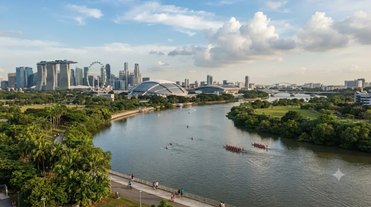
The Kallang River is Singapore's longest river, running about 10 kilometres from the Lower Peirce Reservoir down to the Kallang Basin, cutting through Bishan and Toa Payoh before reaching the sea at Kallang. Much of its course has been reworked into a landscaped park corridor with cycling and walking paths, so it's less a river you visit for a single site and more a green route you follow — good for a walk, a run, or a stretch of cycling away from traffic.

Getting there

Access depends on which stretch you want: the Kallang Basin end near the river mouth is easiest to reach from the city centre, roughly 10-15 minutes by taxi or MRT plus a short walk. The upstream sections through Bishan and Toa Payoh are best reached via the MRT stations in those towns, also around 15-20 minutes from downtown.

Time to allow

An hour or two is enough for a walk along one section of the riverside park. If you're cycling a longer stretch, allow half a day.

When to go

Early morning or late afternoon is more comfortable, avoiding the midday heat and humidity. Weekends tend to draw more joggers, cyclists, and families to the park sections, so weekday visits are quieter.

Combine with

  • If you're near the Kallang Basin end, the Singapore Flyer is about 1.5km away.
  • Masjid Hajjah Fatimah (0.8km) and Masjid Sultan (1.2km) make a reasonable pairing if you're exploring the Kampong Glam area nearby.
  • Masjid Malabar, also around 1.2km away, can be folded into the same walk through the historic mosque district.

Updated September 20, 2026 · Edited by the World by City editors

Tickets & tours

Admission prices and opening hours change often, so we don't list them here. Check what's on sale and at what price below — booking ahead can cut the queue at some places.

This place may not appear in the results — some sites are free to enter or sell tickets only at the gate.

Stays near Kallang River

Sorted by distance, walkable ones first. Distances are straight-line.

Map and place data © OpenStreetMap contributors

Kallang River Nearby stays

Check prices and availability on the booking sites.

Pick your dates — we'll search Singapore hotels for you

Choose dates and guests, and the buttons below will open search results with your criteria. Prices differ between sites, so compare before you book.

Hotel membership

Staying at Accor hotels often? ALL Accor+ Explorer

A paid annual membership. It includes two free nights a year across Asia-Pacific, 30% off dining and 15% off drinks, and 15% off stays at more than 4,500 hotels worldwide.

Explore the membership

Good to visit alongside

Masjid Hajjah Fatimah

Temples & religious sites

Masjid Hajjah Fatimah

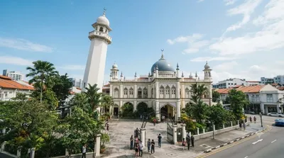
Masjid Hajjah Fatimah is a mosque on Beach Road in Kampong Glam, named after its founder, Hajjah Fatimah binte Sulaiman, whose grave, along with those of her family, lies on the same grounds. Its distinctive architecture blends Malay-Islamic and European elements, most notably a leaning minaret and a golden onion-shaped dome.

0.8 km away

Masjid Sultan

Temples & religious sites

Masjid Sultan

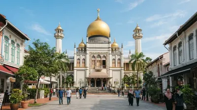
The Sultan Mosque is Singapore's best-known mosque, located in the Kampong Glam district. First built in 1826, its current form with the golden dome dates from a 1932 reconstruction. Named after Sultan Hussein Shah of Johor, a key figure in Singapore's early founding, it is designated a national monument.

1.2 km away

Masjid Malabar

Temples & religious sites

Masjid Malabar

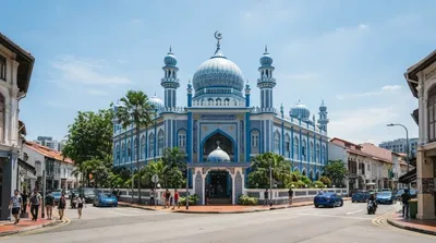
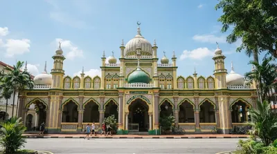
Masjid Malabar is a mosque in the Kampong Glam area, standing where Victoria Street meets Jalan Sultan. First built in 1819 on the site of an older mosque, it's known for its lapis lazuli-blue tiled facade and three golden domes, earning it the nicknames "Golden Dome Mosque" and "Blue Mosque."

1.2 km away

Singapore Flyer

Views & landmarks

Singapore Flyer

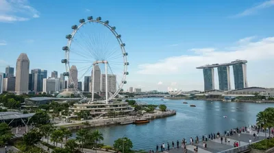
The Singapore Flyer is a giant observation wheel in the Downtown Core that opened in April 2008. It has 28 air-conditioned capsules, each holding up to 28 passengers, along with a three-story terminal building, and draws travelers seeking sweeping views of Marina Bay and the city skyline from high above.

1.5 km away

The Helix Bridge

Views & landmarks

The Helix Bridge

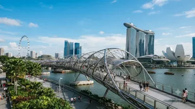
The Helix Bridge is a pedestrian-only bridge linking Marina Centre and Marina South, distinguished by a steel frame shaped like a DNA double helix. Crossing Marina Bay on foot offers close-up views of Marina Bay Sands and the surrounding skyline, making it a favorite for a leisurely stroll or photos.

1.8 km away

Masjid Abdul Gaffoor

Temples & religious sites

Masjid Abdul Gaffoor

Masjid Abdul Gaffoor is a mosque in the heart of Little India, named after its founder, Sheikh Abdul Gaffoor. It was built in 1910 to replace an earlier mosque on Dunlop Street and was gazetted as a Singapore national monument in 1979.

1.8 km away