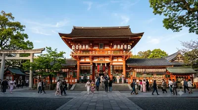
Temples & religious sites
Heian Jingū
What it is
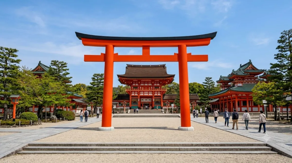
Heian Jingū is a Shinto shrine built in 1895 to mark the 1,100th anniversary of Kyoto becoming the imperial capital. Rather than an ancient site, it's a reconstruction on a large scale of the original Heian-era imperial palace, painted in vivid vermillion and green. The main draw is the scale of the courtyard and gate (Ōten-mon) and the shrine's large strolling garden behind the main halls, which was laid out by garden designer Ogawa Jihei and includes a pond crossed by stepping stones.
Getting there
From central Kyoto (Kyoto Station area), it's about 20-30 minutes by city bus, or a similar time combining subway and a short walk. The shrine sits at the edge of the Okazaki area, north of the Higashiyama temple district, so it's easiest to reach as part of a loop through that part of the city rather than as a standalone trip.
Time to allow
Allow 30-40 minutes for the courtyard and main structures. If you plan to enter the garden behind the halls, add another 45 minutes to an hour, since it's a fair size and meant for a slow walk.
When to go
Mornings tend to be quieter, especially before tour groups arrive. The garden is particularly popular in cherry blossom season (variety of weeping cherries) and in autumn for foliage, both of which bring noticeably larger crowds. The open courtyard offers little shade, so a midday visit in summer can be uncomfortably hot.
What to combine it with
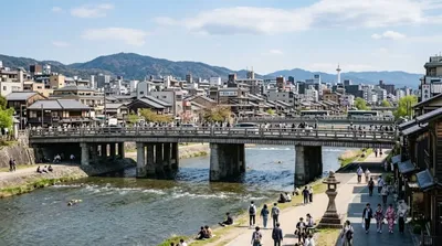
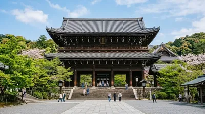
The National Museum of Modern Art, Kyoto is a 5-minute walk away, making it an easy pairing if you're interested in art. Nanzen-ji Temple and Chion-in Temple are both about 1.3km away and can be reached on foot or by a short bus ride, letting you combine the shrine with a broader temple circuit through Higashiyama. Sanjō Ōhashi Bridge, also 1.3km off, works as a stop on the way back toward central Kyoto.
Updated September 20, 2026 · Edited by the World by City editors
 GetYourGuide
 Klook
Klook
 Tiqets
 KKday
KKday
 WeGoTrip
 Booking.com
 Hotels.com