Shopping & districts
Pasir Ris
Pasir Ris
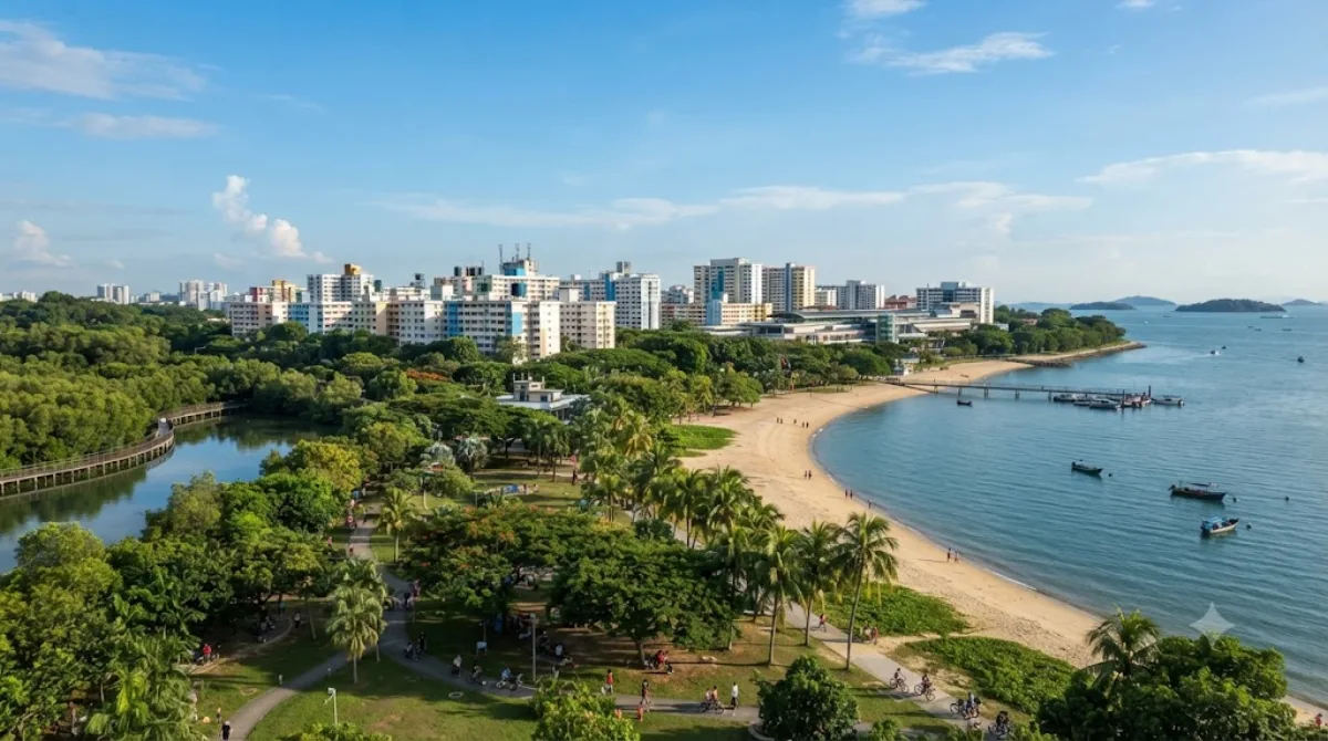
Pasir Ris is a residential planning area on the eastern coast of Singapore, best known to visitors for its stretch of park and beachfront along the Straits of Johor. It's a place to walk or cycle along the coast, look out toward Pulau Ubin and the Johor coastline, and see a quieter, more local side of Singapore away from the downtown core. The area also has one of the last remaining mangrove patches on the main island, reachable via boardwalks in the park.
Getting there
Pasir Ris sits at the eastern end of the MRT East-West Line, about 30-40 minutes by train from the city centre (around the Orchard or City Hall area). By taxi or ride-hail, expect roughly 25-35 minutes depending on traffic.
How much time to allow
A couple of hours is enough for a walk through the park and along the beach. If you plan to cycle further or explore the mangrove boardwalk in more depth, allow half a day.
When to go
Mornings and late afternoons are more comfortable, since the area is exposed and can feel hot at midday. Weekends bring more local families and picnickers to the park, so weekday visits are quieter.
Combining with other sights
Pasir Ris is fairly separate from Singapore's other major attractions, so it works best as its own outing rather than paired with sights closer to the city. The nearest listed attraction, East Coast Park, is about 7.9km away and offers a similar coastal park experience if you want to compare the two. Sights further west, such as Kallang River, Sri Srinivasa Perumal Temple, and Masjid Hajjah Fatimah, are all over 11km away and better treated as separate trips.
Updated September 20, 2026 · Edited by the World by City editors
 GetYourGuide
 Klook
Klook
 Tiqets
 KKday
KKday
 WeGoTrip
 Booking.com
 Hotels.com