World by City

自然

Monte Cavallino

Monte Cavallino

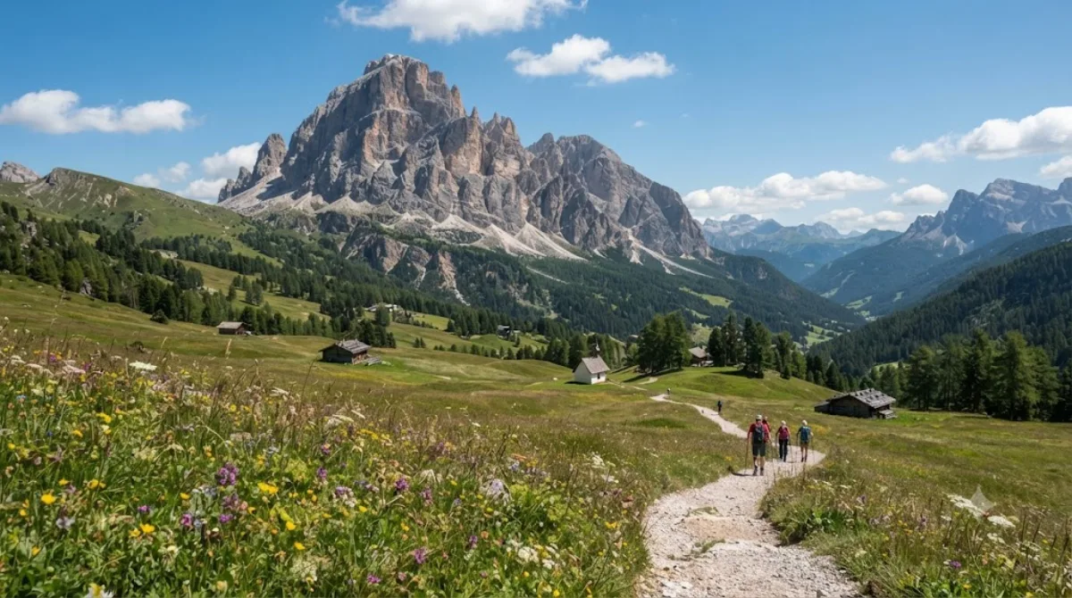
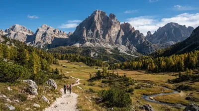
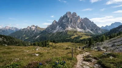
Monte Cavallino (Italian) or Große Kinigat (German) is, after Monte Coglians/Hohe Warte and Peralba/Hochweißstein the third-highest mountain in the Carnic Alps. It has twin summits, the lower one, Königswand (2686), being 250 m to the southeast of the higher summit. Following the main ridge to the west are, after a 2515 m pass, the Kleine Kinigat/Monte Cavallatto and Pfannspitze/Cima Vanscuro.

What it is

Monte Cavallino (Große Kinigat in German) is a twin-summit mountain in the Carnic Alps, ranking as the third-highest peak in the range after Monte Coglians/Hohe Warte and Peralba/Hochweißstein. The lower summit, Königswand, sits at 2,686 m, about 250 m southeast of the main peak. Most visitors come for the ridge walking rather than a single viewpoint: the main crest continues west over a 2,515 m pass toward Kleine Kinigat/Monte Cavallatto and Pfannspitze/Cima Vanscuro, so it works well as part of a longer high-altitude traverse rather than an out-and-back walk.

Getting there

There's no direct public transport to the trailheads; access is typically by car from a Dolomites base town, followed by a hike to reach the ridge and summit. Driving time to the nearest valley access points is generally under an hour from most central Dolomites locations, but the approach hike itself should be budgeted separately, as this is a proper mountain ascent rather than a roadside stop.

Time to allow

Treat this as a full-day outing. Reaching the ridge, continuing to the summit, and returning takes most hikers the better part of a day, especially if combining the traverse toward the neighboring peaks.

When to go

This is high-altitude terrain, so conditions matter more than crowds. Aim for summer through early autumn when snow has cleared from the ridge, and start early to avoid afternoon storms, which build quickly at this elevation. It does not see the foot traffic of the more famous Dolomites peaks, so congestion isn't a major concern here.

Combine it with

  • Helm (11.3 km) and Elferkofel (12 km) — other mountains in the same area, feasible as a separate day.
  • Puster Valley (13.8 km) — a natural base for lodging and supplies before or after the climb.
  • Zwölferkofel (14 km) — worth pairing if you're touring several Dolomites peaks over multiple days.

出典:ウィキペディア・OpenStreetMap の公開データ · 2026年8月5日 更新 · 編集 World by City 編集部

チケット・ツアー予約

入場料や営業時間は変わりやすいためここには載せていません。下で現在販売中のチケットと価格をご確認ください。事前購入で待ち時間を減らせる場所もあります。

検索結果にこの場所のチケットがない場合もあります。入場無料、または現地販売のみの施設もあります。

Monte Cavallino 周辺の宿

歩いて行ける距離から近い順に並べています。距離は直線距離です。

地図 © OpenStreetMap 寄稿者。直線でつないでいるため実際の経路とは異なります。

Monte Cavallino 周辺の宿

宿の位置と名称は OpenStreetMap のデータに基づきます。価格と空室は各予約サイトでご確認ください。

あわせて訪れたい場所