Natur
Große Kinigat
Monte Cavallino
Überblick
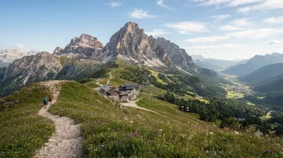
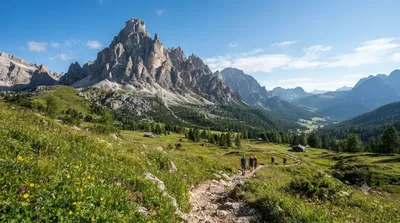
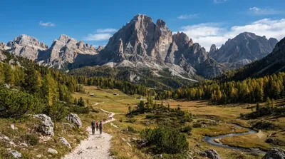
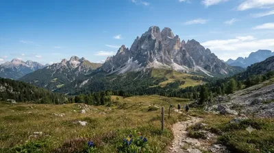
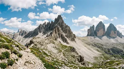
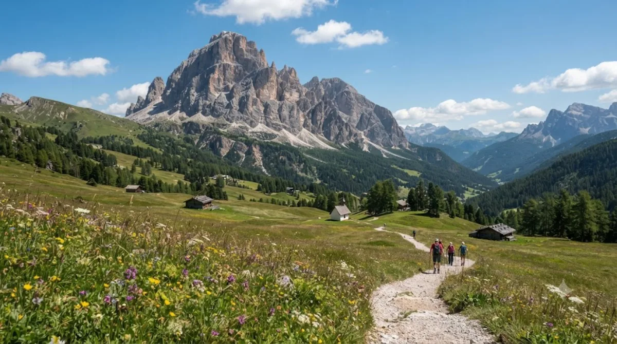
Der Monte Cavallino, im Deutschen Große Kinigat genannt, ist der dritthöchste Gipfel der Karnischen Alpen. Er umfasst zwei Spitzen: den Hauptgipfel und die etwa 250 Meter südöstlich liegende Königswand (2.686 m). Reisende schätzen das Massiv für alpine Wanderungen und Klettersteige im felsigen Grenzgebiet.
Anreise
Der Aufstieg beginnt in den umliegenden Tälern. Wanderparkplätze sind aus den Talorten mit Pkw oder Bus in 30 bis 60 Minuten erreichbar. Die Anreise aus weiterer Entfernung erfolgt meist über die Flughäfen Innsbruck (INN) oder Venedig-Marco-Polo (VCE).
Zeitbedarf
Für die Tour ist ein voller Tag anzusetzen. Die Gehzeit für Auf- und Abstieg liegt je nach Route bei 6 bis 8 Stunden.
Beste Reisezeit
Die Wanderung empfiehlt sich von Juli bis September, wenn die Pfade schneefrei sind. Ein früher Aufbruch am Morgen vermeidet Sommergewitter. Der Andrang ist geringer als in den Kernzonen der Dolomiten, bei gutem Wochenendwetter jedoch spürbar.
Kombinationsmöglichkeiten
- Helm (11,3 km): Aussichtsgipfel auf dem Karnischen Grenzkamm.
- Elferkofel (12 km): Hochalpiner Felsgipfel für Kletterer.
- Pustertal (13,8 km): Tal mit Verkehrs- und Übernachtungsmöglichkeiten.
- Zwölferkofel (14 km): Dolomitengipfel in den Sextner Bergen.
Aktualisiert 20. September 2026 · Redaktion die World by City-Redaktion
 GetYourGuide
 Klook
Klook
 Tiqets
 KKday
KKday
 WeGoTrip
 Booking.com
 Hotels.com