World by City

Nature

Cima dei Preti
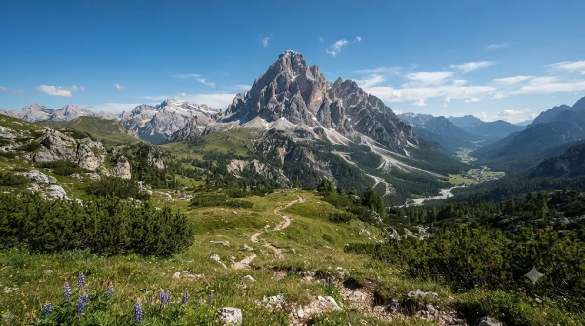
Cima dei Preti

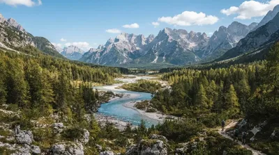
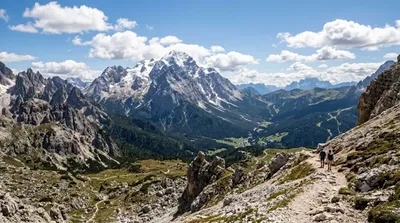
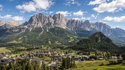
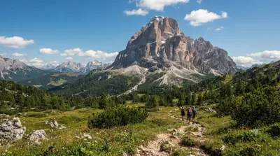
Cima dei Preti is a mountain in the Carnic Prealps, the highest peak of the Friulian Dolomites, Italy. It is located at the boundaries between the provinces of Pordenone and Belluno.

Cima dei Preti

Cima dei Preti is the highest summit of the Friulian Dolomites, rising on the boundary between the provinces of Pordenone and Belluno within the Carnic Prealps group. It's a proper mountaineering objective rather than a roadside viewpoint: travellers come here for the climb or trek itself and for the surrounding alpine scenery, not for facilities or infrastructure at the top.

Getting there

There's no city centre nearby in the usual sense — the mountain sits in a remote pocket of the Dolomites, reached via mountain roads and trailheads in the Cellina or Piave valleys. Expect a drive of an hour or more from any nearby town to the nearest parking or trailhead, followed by a multi-hour approach on foot.

Time to allow

Reaching the summit and back is a full-day undertaking for experienced hikers or climbers with the right equipment; some routes may require an overnight stay in a mountain hut. This is not a short detour — plan for most of a day at minimum.

When to go

Snow can linger into early summer and return by autumn, so the main window is generally mid-summer to early autumn, weather permitting. Start early to allow for changeable mountain weather and to be off exposed terrain before afternoon storms, which are common in the Dolomites in summer. The area is not heavily trafficked compared to the better-known Dolomite peaks further east.

Combine it with

  • Tagliamento (14.2km) — the river valley below, worth a stop on the way in or out.
  • Antelao (17.4km) — another major Dolomite peak, for those extending a multi-day mountain trip.
  • Cadore (19.2km) — a good base area with more services for travellers staying overnight nearby.
  • Monte Pelmo (23.7km) — a further Dolomite summit worth combining if you have several days for hiking in the region.

Sources: open data from Wikipedia and OpenStreetMap · Updated August 5, 2026 · Edited by the World by City editors

Tickets & tours

Admission prices and opening hours change often, so we don't list them here. Check what's on sale and at what price below — booking ahead can cut the queue at some places.

This place may not appear in the results — some sites are free to enter or sell tickets only at the gate.

Stays near Cima dei Preti

Sorted by distance, walkable ones first. Distances are straight-line.

Map © OpenStreetMap contributors. Lines are straight connections, not actual routes.

Cima dei Preti Nearby stays

Locations and names come from OpenStreetMap. Check prices and availability on the booking sites.

Good to visit alongside

Tagliamento

Nature

Tagliamento

The Tagliamento is a braided river in north-east Italy, flowing from the Alps to the Adriatic Sea at a point between Trieste and Venice.

14.2 km away

Antelao

Nature

Antelao

Monte Antelao is the highest mountain in the eastern Dolomites in northeastern Italy, southeast of the town of Cortina d'Ampezzo, in the region of Cadore. The Monte Antelao is an ultra-prominent peak (Ultra).

17.4 km away

Cadore

Nature

Cadore

Cadore is a historical region in the Italian region of Veneto, in the northernmost part of the province of Belluno bordering on Austria, the Trentino-Alto Adige/Südtirol and Friuli-Venezia Giulia. It is watered by the Piave River which has its source in the Carnic Alps. Once an undeveloped and poor district, the former contado (countship) of Cadore now has a thriving economy based on tourism and a small manufacturing industry, specialising in the production of glasses.

19.2 km away

Monte Pelmo

Nature

Monte Pelmo

Monte Pelmo is a mountain of the Dolomites, in the province of Belluno, Northeastern Italy.

23.7 km away

Cadini group

Nature

Cadini group

Cadini di Misurina is a group of mountains in the eastern Dolomites in the Province of Belluno, Italy. These mountains rise to the west of Auronzo di Cadore, north-east of Cortina d'Ampezzo and south of Dobbiaco, in a position overlooking Lake Misurina. They are part of the Dolomites subsection of Sesto, of Braies, and Ampezzo, and belong to the municipality of Auronzo di Cadore. The highest peak is the Cima Cadin of San Lucano.

28.3 km away

Monte Civetta

Nature

Monte Civetta

Monte Civetta is a prominent and major mountain of the Dolomites, in the Province of Belluno in northern Italy. Its north-west face can be viewed from the Taibon Agordino valley, and is classed as one of the symbols of the Dolomites.

28.5 km away