World by City

Nature

Tagliamento

Tagliamento

The Tagliamento is a braided river in north-east Italy, flowing from the Alps to the Adriatic Sea at a point between Trieste and Venice.

What it is

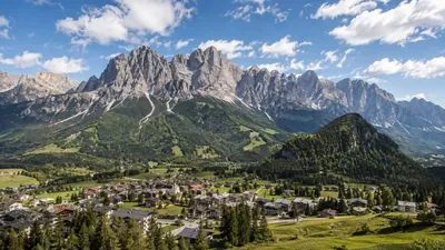
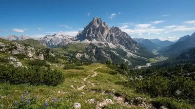
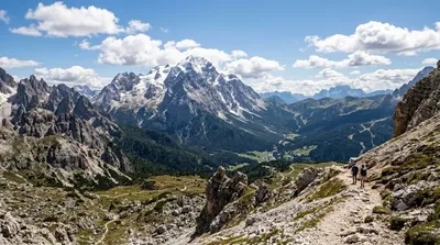
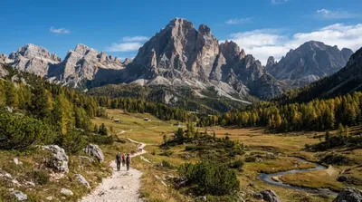
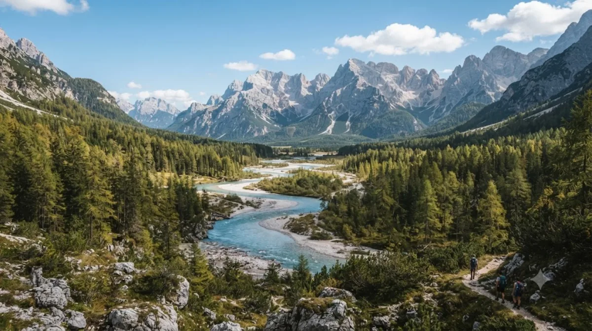
The Tagliamento is one of the last large rivers in the Alps that hasn't been dammed or channelized along most of its course. Rather than a single stream, it spreads across a wide gravel bed in a braided pattern, with multiple shallow channels shifting around bars of stone and sand. In the Dolomites section, it flows through a broad, open valley flanked by mountains, which makes it more a landscape to walk or drive alongside than a single fixed viewpoint. Travellers come for the scale of the exposed gravel bed, the clear water, and the contrast between the open riverbed and the peaks around it.

Getting there

There isn't a single "city centre" this river sits next to — it runs through the valley near Cadore. Access is by car along the roads that follow the valley floor; you can reach a stretch of the riverbed within 15-20 minutes from most towns in the area. There's no dedicated public transport to the river itself.

Time to allow

An hour or two is enough to walk out onto the gravel bars and get a sense of the place. If you want to follow a longer stretch on foot or by bike, allow half a day.

When to go

Water levels and the shape of the channels change with the season — expect more exposed gravel and calmer water in late summer, and higher, faster flow after snowmelt in spring or heavy rain. Mornings tend to be quieter. This isn't a heavily touristed site, so crowding isn't a major concern.

Combine with

Cadore (14.2km) is the closest reference point and a reasonable base for the area. The peaks of Cima dei Preti (14.2km) and Antelao (20km) are visible from parts of the valley and suit travellers interested in hiking or mountain views, while Zwölferkofel (22.5km) is a further option for those extending into the Dolomites proper.

Sources: open data from Wikipedia and OpenStreetMap · Updated August 5, 2026 · Edited by the World by City editors

Tickets & tours

Admission prices and opening hours change often, so we don't list them here. Check what's on sale and at what price below — booking ahead can cut the queue at some places.

This place may not appear in the results — some sites are free to enter or sell tickets only at the gate.

Stays near Tagliamento

Sorted by distance, walkable ones first. Distances are straight-line.

Map © OpenStreetMap contributors. Lines are straight connections, not actual routes.

Tagliamento Nearby stays

Locations and names come from OpenStreetMap. Check prices and availability on the booking sites.

Good to visit alongside

Cadore

Nature

Cadore

Cadore is a historical region in the Italian region of Veneto, in the northernmost part of the province of Belluno bordering on Austria, the Trentino-Alto Adige/Südtirol and Friuli-Venezia Giulia. It is watered by the Piave River which has its source in the Carnic Alps. Once an undeveloped and poor district, the former contado (countship) of Cadore now has a thriving economy based on tourism and a small manufacturing industry, specialising in the production of glasses.

14.2 km away

Cima dei Preti

Nature

Cima dei Preti

Cima dei Preti is a mountain in the Carnic Prealps, the highest peak of the Friulian Dolomites, Italy. It is located at the boundaries between the provinces of Pordenone and Belluno.

14.2 km away

Antelao

Nature

Antelao

Monte Antelao is the highest mountain in the eastern Dolomites in northeastern Italy, southeast of the town of Cortina d'Ampezzo, in the region of Cadore. The Monte Antelao is an ultra-prominent peak (Ultra).

20.0 km away

Zwölferkofel

Nature

Zwölferkofel

The Zwölferkofel or Zwölfer is a peak of the Sexten Dolomites on the border between the provinces of South Tyrol and Belluno, in Italy.

22.5 km away

Cadini group

Nature

Cadini group

Cadini di Misurina is a group of mountains in the eastern Dolomites in the Province of Belluno, Italy. These mountains rise to the west of Auronzo di Cadore, north-east of Cortina d'Ampezzo and south of Dobbiaco, in a position overlooking Lake Misurina. They are part of the Dolomites subsection of Sesto, of Braies, and Ampezzo, and belong to the municipality of Auronzo di Cadore. The highest peak is the Cima Cadin of San Lucano.

23.0 km away

Elferkofel

Nature

Elferkofel

The Cima Undici - Elferkofel is a mountain in the Sexten Dolomites in South Tyrol, Italy.

23.4 km away