Nature
Cái Nha Trang River
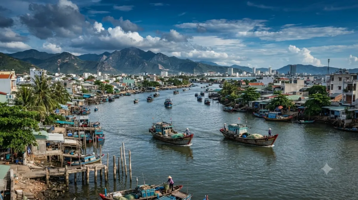
Cái River
The Cái is the main river running through Nha Trang before it reaches the sea, draining a basin of about 1,904 km² across Khánh Hòa Province. Rather than a single sight, it's a stretch of waterway and riverbank you pass along or cross on the way to other places — worth a stop for the view of boats, fishing activity, and the mountains inland, rather than for a specific landmark on its banks.
Getting there
The river runs close to the northern edge of central Nha Trang, so most stretches are reachable within 10-15 minutes by taxi or motorbike from the city centre. Xom Bong Bridge is a common point for viewing the river and watching local fishing boats.
Time to allow
Half an hour to an hour is enough to walk along a section of the bank or cross a bridge and take in the scene, unless you're combining it with a boat trip or cycling route further upstream.
When to go
Early morning or late afternoon light works best for photos and for watching fishing boats come and go. The area is not typically crowded with tourists, though bridge crossings can have heavy motorbike traffic during rush hour.
Combine with
- Po Nagar (2.2km) — the Cham towers sit right where the river meets the sea, making it a natural pairing.
- Long Sơn Pagoda (2km) — a short ride away, easily combined in the same outing.
- Christ the King Cathedral and the Roman Catholic Diocese of Nha Trang (both 2.8km) — can round out a half-day loop around this part of the city.
Updated September 20, 2026 · Edited by the World by City editors
 GetYourGuide
 Klook
Klook
 Tiqets
 KKday
KKday
 WeGoTrip
 Booking.com
 Hotels.com